

Earth’s Complex Energy Machine
The weather we experience daily, from a light drizzle to a catastrophic hurricane, is merely the most immediate and tangible expression of the colossal, intricate Climate Engine that operates across the entire planet. This engine is fundamentally driven by the enormous influx of energy from the Sun, a constant cosmic power source. This solar energy drives circulation in the atmosphere, heats the oceans, and ultimately sustains all life on Earth.
However, the system is far from simple, as this solar energy is not evenly distributed across the globe. It is received most intensely at the equator and least intensely at the poles. This uneven heating creates massive temperature gradients, which in turn generate powerful pressure differences.
These differences are the root cause of air masses and ocean currents that work tirelessly to redistribute heat across the planet. They act effectively as a planetary air conditioning system, attempting to achieve thermal equilibrium. The movement of energy through the atmosphere, oceans, land, and ice forms a complex, interconnected feedback loop that determines our long-term climate patterns. Understanding this delicate balance and the fundamental physics that govern its flow is crucial to predicting future changes to our global climate.
Solar Energy: The Primary Driver
The Sun is the single, immense source of virtually all the energy that powers Earth’s weather and climate systems. Without this continuous influx of energy, the planet would quickly become a cold, static sphere, devoid of liquid water.
The physics of how this solar energy interacts with Earth’s atmosphere and surface dictates the initial Energy Budget. This budget is the core input for the entire global climate engine.
A. Insolation and Distribution
Insolation refers to the specific amount of solar radiation energy received by the Earth’s surface. This crucial energy input is naturally not uniform across the globe.
-
Solar radiation strikes the Earth’s surface most directly, or perpendicularly, near the Equator. This concentrates the energy into a smaller area, resulting in intense heating and high temperatures.
-
Near the Poles, the same amount of solar energy strikes the surface at a very shallow angle. This action spreads the energy across a much larger area, resulting in lower, less intense heating.
-
This fundamental difference in insolation creates a surplus of energy at the equator and a distinct energy deficit at the poles. This imbalance initiates all large-scale atmospheric and oceanic circulation.
B. Albedo and Reflection
Not all the incoming solar radiation is absorbed by the Earth’s surface and atmosphere. A significant portion of this energy is immediately reflected directly back into outer space.
-
Albedo is the scientific term used to describe the reflectivity of a surface. It is mathematically expressed as a value between 0 (perfect absorption) and 1 (perfect reflection).
-
Light-colored surfaces, such as fresh snow, thick clouds, and large ice sheets, have a very High Albedo. They efficiently reflect a large fraction of the incoming energy back.
-
Conversely, dark surfaces, such as open ocean water, dense forests, and asphalt roads, have a very Low Albedo. They efficiently absorb most of the incoming solar energy, which rapidly converts it to heat.
C. The Greenhouse Effect
Once solar energy is absorbed and warms the Earth’s surface, it is efficiently re-radiated back into the atmosphere. This energy takes the form of longwave, lower-energy Infrared Radiation (Heat). The atmosphere’s chemical composition plays a vital role in trapping this heat.
-
Certain atmospheric gases, known as Greenhouse Gases (GHGs), are transparent to incoming solar radiation. However, they powerfully absorb and trap this outgoing infrared heat.
-
Major GHGs include water vapor ($\text{H}_2\text{O}$), carbon dioxide ($\text{CO}_2$), methane ($\text{CH}_4$), and nitrous oxide ($\text{N}_2\text{O}$). This essential trapping process is called the Greenhouse Effect.
-
Without this natural trapping effect, the Earth’s average surface temperature would be far too cold to support liquid water and thus life. However, an increase in these gases intensifies the effect, leading to planetary warming.
Atmospheric Circulation Dynamics
The vast, massive movements of air across the globe are the primary physical mechanism for transferring excess heat. This heat flows from the warmer equator toward the cooler poles. This global air circulation is fundamentally governed by three primary physical forces acting on the air masses.
Understanding these forces and the resulting Global Circulation Cells is key to understanding the distribution of climate zones and the stable, predictable prevailing wind patterns.
A. Convection and Hadley Cells
Air heated intensely at the equator becomes less dense and promptly rises into the upper atmosphere. This rising action, known as Convection, is the start of all large-scale atmospheric circulation.
-
This rising, warm air creates a low-pressure zone at the surface, known as the Intertropical Convergence Zone (ITCZ). As the air rises, it cools and releases moisture, resulting in heavy rainfall near the equator (the tropics).
-
The now-dry, high-altitude air flows outward toward the poles until it cools and descends dramatically around 30 degrees latitude. This descending air creates persistent high-pressure zones.
-
This massive circulation pattern is known as the Hadley Cell. The descending, dry air at the $30^\circ$ latitude belt is directly responsible for creating the world’s great deserts.
B. The Coriolis Effect
Once air begins to move horizontally from a high-pressure zone to a low-pressure zone, its path is dramatically deflected. This deflection is a result of the Earth’s rotation and is known as the Coriolis Effect.
-
The Earth rotates faster at the equator than it does near the poles due to geometry. This difference in rotational speed causes moving objects (like air masses) to appear deflected from an observer’s perspective.
-
In the Northern Hemisphere, moving air is deflected sharply to the right of its original intended path. In the Southern Hemisphere, the air is deflected to the left of its original path.
-
Crucially, the Coriolis Effect does not affect the speed of the wind itself. It only influences the wind’s direction, creating the stable, predictable Prevailing Wind patterns like the Trade Winds and the mid-latitude Westerlies.
C. Jet Streams and Baroclinic Zones
At high altitudes, particularly along the boundaries of the major circulation cells, powerful bands of fast-moving air exist. These high-speed currents are known as the Jet Streams.
-
Jet Streams are narrow, river-like flows of air found near the Tropopause. This is the critical boundary between the lower troposphere and the higher stratosphere.
-
They form precisely above intense temperature gradients, which are technically known as Baroclinic Zones. This is where cold polar air masses meet much warmer tropical air masses.
-
The complex path of the jet stream strongly dictates where mid-latitude storms and major weather systems will move. This makes them central to accurate short-term weather forecasting and storm tracking.
The Role of the Oceans

The oceans hold an enormous, stabilizing influence on the global climate system. Water has an incredibly high Specific Heat Capacity. This allows it to absorb and release vast quantities of thermal energy much more slowly and steadily than land.
The slow, steady movement of colossal volumes of ocean water is a major, often overlooked mechanism. It is critical for distributing heat globally and regulating atmospheric $\text{CO}_2$ levels over geological timescales.
A. Surface Currents
Driven primarily by the friction from the prevailing winds, large-scale horizontal movements of surface water, known as Gyres, circulate heat across all the oceans.
-
These surface currents efficiently transfer warm water away from the equator and cold water away from the poles. This action profoundly moderates coastal temperatures significantly.
-
The Gulf Stream is the most famous example of this phenomenon. It carries warm water from the Gulf of Mexico northeast across the Atlantic, making Western Europe significantly warmer than other comparable latitudes.
-
These wind-driven currents only physically affect the upper few hundred meters of the ocean. However, they are crucial for regulating regional and coastal climates.
B. Thermohaline Circulation (The Great Conveyor Belt)
Beneath the influence of the surface currents, the deep ocean is driven by a much slower, immense, global circulation system. This deep flow is known as the Thermohaline Circulation.
-
This deep circulation is governed entirely by differences in water density. These differences are controlled by Temperature (Thermo) and Salinity (Haline), which determines density.
-
Cold, very salty water is denser and sinks near the poles, initiating a flow that moves throughout all the world’s ocean basins over centuries.
-
This entire process is often informally called the Great Ocean Conveyor Belt. It takes hundreds to thousands of years to complete one full cycle, playing a critical role in long-term climate stability.
C. Ocean-Atmosphere Interaction
The oceans and the atmosphere are in constant, dynamic communication. They are continually exchanging energy, momentum, and mass at their interface, the sea surface. This interaction is the source of many large-scale climate oscillations.
-
The ocean acts as a massive Carbon Sink over long periods. It absorbs large amounts of atmospheric $\text{CO}_2$, helping to buffer the overall effects of rising greenhouse gas emissions.
-
Events like the El Niño-Southern Oscillation (ENSO) involve periodic changes in Pacific Ocean surface temperatures. These changes have ripple effects on weather patterns globally, causing droughts and floods far from the Pacific.
-
The continuous exchange of heat and moisture between the sea and air efficiently fuels the formation of tropical cyclones and other massive, energetic storm systems.
Climate Feedback Mechanisms
The entire climate engine is characterized by complex Feedback Mechanisms. These are internal processes that either rapidly amplify or slowly dampen the initial warming or cooling trend.
These feedbacks are precisely what make predicting long-term climate change inherently difficult. They contribute significantly to the non-linear, accelerating nature of global warming.
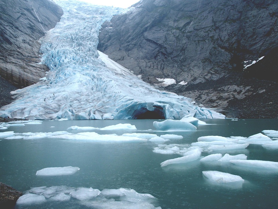
A. Ice-Albedo Feedback (Amplifying)
One of the most potent Positive (Amplifying) Feedbacks involves changes in global ice and snow cover. This mechanism dramatically accelerates warming in the sensitive polar regions.
-
As the climate warms, highly reflective sea ice and glaciers melt, shrinking the total area covered by bright white surfaces.
-
The solar energy that was previously reflected is now strongly absorbed by the darker underlying ocean water or land surface. This increased absorption efficiently increases local temperatures.
-
The warmer water and land then cause further melting, creating a continuous, self-reinforcing cycle of warming and consequential ice loss.
B. Water Vapor Feedback (Amplifying)
Water vapor is the most powerful natural greenhouse gas in the atmosphere, and it acts as a very significant positive feedback mechanism in the system.
-
A warmer atmosphere can fundamentally hold significantly more water vapor before saturation occurs compared to a colder one.
-
As global temperatures rise due to increased $\text{CO}_2$, more water evaporates from the oceans and enters the atmosphere as a gas.
-
Because water vapor is a potent GHG, this additional atmospheric moisture traps even more heat. This leads to further warming, thus powerfully amplifying the original temperature increase.
C. Cloud Feedback (Uncertain)
Clouds represent the most complex and uncertain feedback mechanism in the current generation of climate models. Their overall effect on global temperature can be either positive or negative, depending entirely on their specific properties.
-
Low, thick clouds tend to have a very high albedo. They effectively reflect a lot of incoming sunlight back to space, resulting in a net Cooling Effect (Negative Feedback).
-
High, thin clouds (like cirrus) are less reflective but are highly effective at trapping outgoing infrared radiation. This leads to a net Warming Effect (Positive Feedback).
-
Changes in cloud type, coverage, and altitude due to warming are highly difficult to model accurately. This remains a major source of predictive uncertainty in all climate projections.
Measuring and Modeling Climate
To fully understand the immense scale and complexity of the climate engine, scientists rely on extensive global networks for measurement. They also utilize powerful supercomputers for running complex simulations.
These tools allow researchers to accurately separate natural variability from the growing human influence. They are crucial for predicting and projecting future climatic conditions with high confidence.
A. Proxy Data and Paleoclimatology
To fully understand Earth’s past climate history, scientists must look far beyond recent instrumental records. They utilize Proxy Data stored naturally in the environment.
-
Ice Cores contain trapped ancient air bubbles and layers of accumulated snow. They reveal past atmospheric composition (like $\text{CO}_2$ levels) and temperatures spanning hundreds of thousands of years.
-
Tree Rings (Dendrochronology) provide annual, precise records of moisture and temperature variability. These records can extend back several millennia in certain regions.
-
Ocean Sediment Cores contain the fossilized shells of tiny marine organisms. Their chemistry records past ocean temperatures and currents, offering insights into deep geological time.
B. General Circulation Models (GCMs)
Climate models are complex, three-dimensional mathematical representations of the Earth’s entire climate system. They are computationally intensive and are run on the world’s fastest supercomputers.
-
General Circulation Models (GCMs) simulate the intricate, simultaneous interactions between the atmosphere, oceans, land surface, and ice (the cryosphere).
-
These models are constructed entirely based on the fundamental laws of physics. These laws include conservation of energy, mass, and momentum, which govern fluid dynamics.
-
By inputting various future emission scenarios, GCMs provide the probabilistic basis for projecting future temperature increases and regional climate shifts decades ahead.
C. Satellite Monitoring
Satellites provide an invaluable, comprehensive, and continuous top-down view of the Earth’s climate system. They monitor rapid changes across vast, remote areas that are difficult to access terrestrially.
-
Satellites continuously track key variables such as sea surface temperature, global cloud cover, sea level rise, and the extent of polar ice sheets and glaciers.
-
Specialized satellite instruments precisely measure the global concentration of greenhouse gases like $\text{CO}_2$and $\text{CH}_4$ across the entire globe simultaneously.
-
This continuous stream of high-quality data is absolutely essential for validating and continuously improving the accuracy and realism of the sophisticated GCMs.
Conclusion
The Earth’s climate system is a massive, dynamic, and intricate Climate Engine fueled by the Sun and governed by the fundamental laws of physics. The engine’s operation begins with the uneven distribution of Insolation, creating necessary energy imbalances that drive circulation. This circulation is controlled by the rising and sinking air of the Hadley Cellsand the rotational force of the Coriolis Effect, which dictates prevailing wind patterns. The oceans, with their vast heat capacity, play a crucial stabilizing role, transporting energy through wind-driven Surface Currents and the immense, slow Thermohaline Circulation.
The system’s responsiveness is governed by powerful Feedback Mechanisms like the accelerating Ice-Albedo Feedback and the potent Water Vapor Feedback, which complicate future projections. Scientists analyze Proxy Data from ice cores and sediments to understand past climates and rely on sophisticated General Circulation Models (GCMs) to simulate the complex interactions of the atmosphere, ocean, and land.
The continuous monitoring via Satellite Technology provides critical real-time data to validate these models and track global changes. Understanding the delicate balance of these physical forces is paramount. This knowledge is crucial for forecasting climate change and making informed decisions about the planet’s future. The global climate system, in its dynamic complexity, constantly strives to achieve energy balance.


